| Originally a section of the independent town of Roxbury, Mission Hill became a part of Bioston when Roxbury was annexed to Boston in 1868. The neighborhood is named for a church complex built there in the late 1800s. |
|
| Hills of Mission Hill - Boston, Mass. |
| Parker Hill |
| • |
USGS identified - MassMapper MassGIS |
| • |
Google Maps | Google Earth - Google |
| • |
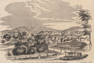
"...There is no place in the vicinity of Boston from which a finer prospect may be obtained than from Parker Hill, or the 'Great Hill,. as it was formerly called...". Drake, pg. 391, 1908 - HathiTrust |
| • |
"...John Parker (1757-1840) was a member of the family for which Parker Hill was named....". Sammarco, pg. 86, 1997 - Google ebook Preview |
| • |
Mission Hill: Exploring Boston's Neighborhoods (PDF), "...The merchant John Parker occupied the summit of the hill and gave it his name...", 1994 - City of Boston |
| • |
The History of Peter Parker and Sarah Ruggles, John W. Linzee, 1913 - Internet Archive |
| • |
Mission Hill, Boston, Maynard S. Clark, 2016 - ResearchGate |
| • |
Parker Hill - USGS Geographic Names Information System |
|
|
|
|
| Mission Hill Maps |
| • |
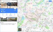
Mission Hill - Google Maps, Terrain |
| • |
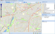
Mission Hill - MassMapper MassGIS |
| • |
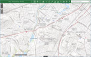
Mission Hill - USGS - The National Map |
| • |
Boston South Quadrangle - 2018 (60 MB PDF) - USGS Topo Download |
| • |
USGS Historical Topographic Map Explorer |
| • |
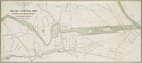
Map of the Town of Roxbury, Massachusetts, John G. Hales, 1832 - Norman B. Leventhal Map Center, Boston Public Library |
| • |
City of Roxbury, Massachusetts, Charles Whitney, 1849 - Norman B. Leventhal Map Center, Boston Public Library |
| • |
Atlas of Roxbury, Geo. W. & Walter S. Bromley, 1899 - State Library of Massachusetts |
| • |
Map of Mission Hill (PDF) - Boston Planning & Development Agency |
|
|